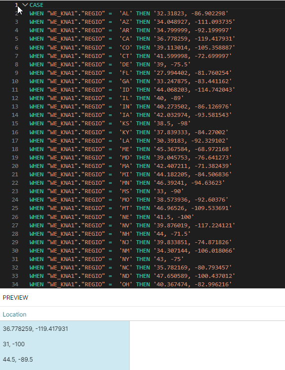
Hello everyone, I am interested in creating a heat map in Celonis to track a KPI with respect to it's coordinates. As below:
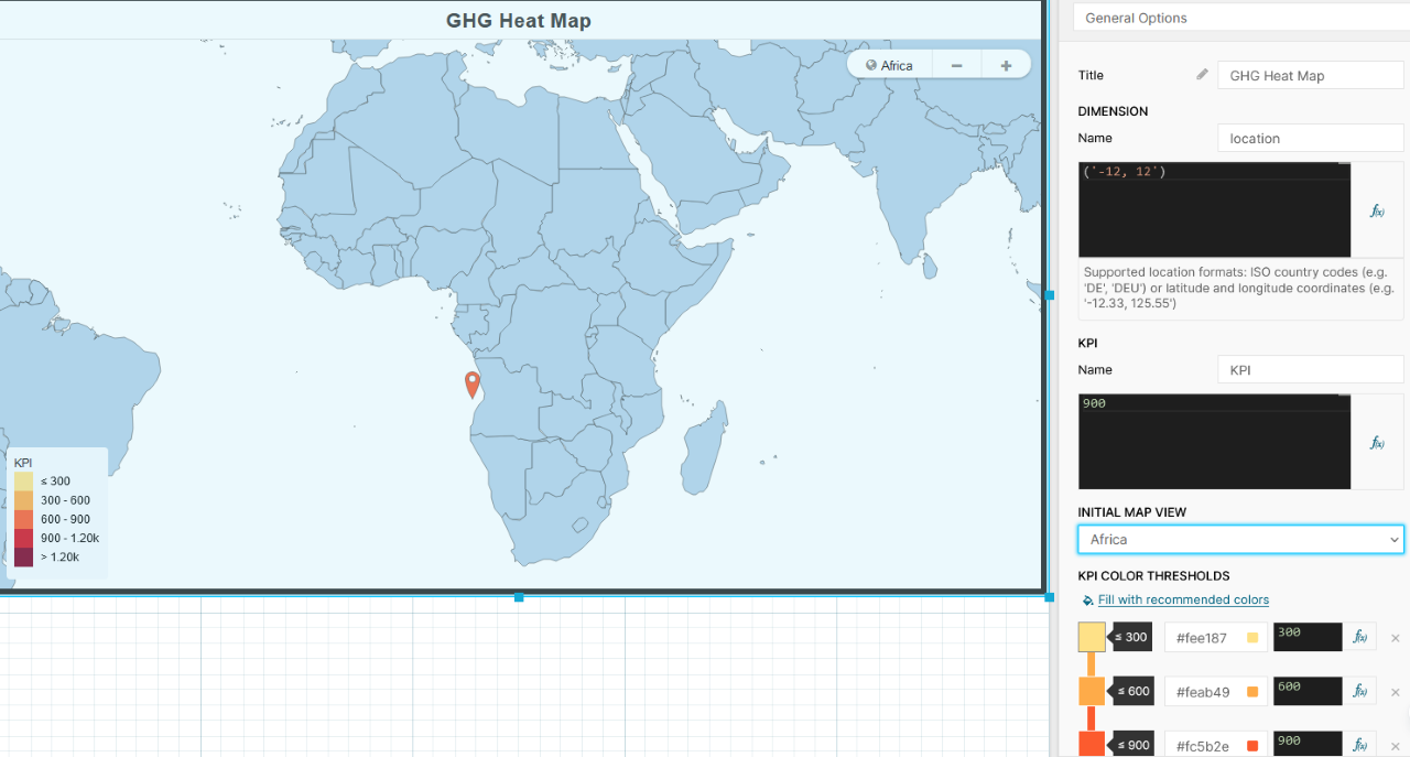
Now, obviously, the only way this is useful is if you can track multiple coordinates. So, I use the visual editor, as below, to add a second coordinate:

Upon refreshing, I see an error of "Extraneous input".
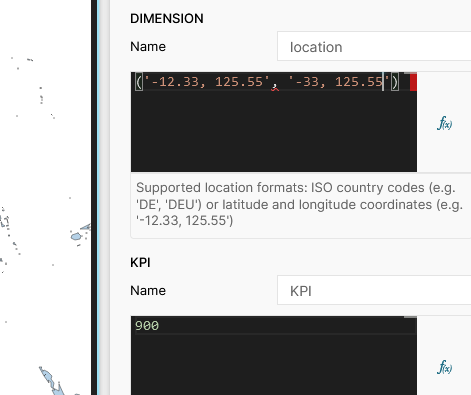
My question is simple: What data format does Celonis expect for multiple coordinates? And could you provide an example that would work? I know this is possible because of the figure in the following post : https://www.celopeers.com/s/question/0D50700001xS5HOCA0/how-do-i-create-a-custom-label-for-a-tooltip-dimension?language=en_US by Christian Ocampo.
Thank you for any help you can provide.


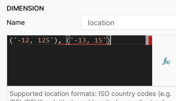
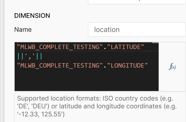 The best way I currently know to do this is to have the long/lat columns as separate and join them as such. For some reason, no other way works.
